
Ballentrae topographic map
Interactive map
Click on the map to display elevation.
About this map
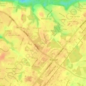
Name: Ballentrae topographic map, elevation, terrain.
Average elevation: 63 m
Minimum elevation: 35 m
Maximum elevation: 72 m
Other topographic maps
Click on a map to view its topography, its elevation and its terrain.
Mattawoman Estates
United States > Maryland > Charles County > Waldorf
Mattawoman Estates, Waldorf, Charles County, Maryland, United States, Pinefield Community Park
Average elevation: 62 m
Idlewood Trailer Park
United States > Maryland > Charles County > Waldorf
Idlewood Trailer Park, Waldorf, Charles County, Maryland, 20601, United States
Average elevation: 61 m
Delight
United States > Maryland > Charles County > Waldorf
Delight, Waldorf, Charles County, Maryland, 20601, United States
Average elevation: 61 m