
Kampung Gua Petai topographic map
Interactive map
Click on the map to display elevation.
About this map
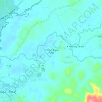
Name: Kampung Gua Petai topographic map, elevation, terrain.
Location: Kampung Gua Petai, Rantau Panjang, Perak, 34140, Malaysia (5.21398 100.68995 5.25398 100.72995)
Average elevation: 24 m
Minimum elevation: 7 m
Maximum elevation: 128 m