
Klaffenbach topographic map
Interactive map
Click on the map to display elevation.
About this map
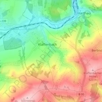
Name: Klaffenbach topographic map, elevation, terrain.
Location: Klaffenbach, Chemnitz, Saxony, Germany (50.74138 12.87952 50.78100 12.93870)
Average elevation: 414 m
Minimum elevation: 320 m
Maximum elevation: 532 m