
大坪村 topographic map
Interactive map
Click on the map to display elevation.
About this map
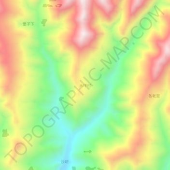
Name: 大坪村 topographic map, elevation, terrain.
Location: 大坪村, 宕昌县, 陇南市, 甘肃省, 中国 (34.02819 104.64257 34.06819 104.68257)
Average elevation: 2,360 m
Minimum elevation: 1,991 m
Maximum elevation: 2,753 m
Other topographic maps
Click on a map to view its topography, its elevation and its terrain.