
Kasi (Gonia) topographic map
Interactive map
Click on the map to display elevation.
About this map
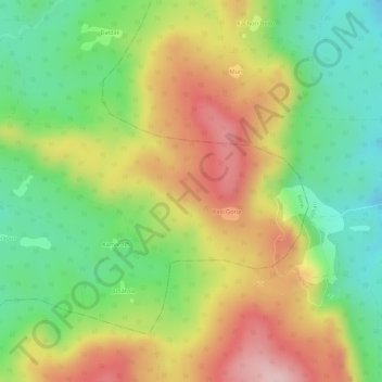
Name: Kasi (Gonia) topographic map, elevation, terrain.
Location: Kasi (Gonia), Borio, Sahibganj District, Jharkhand, India (25.11700 87.68755 25.12796 87.71405)
Average elevation: 190 m
Minimum elevation: 71 m
Maximum elevation: 319 m
Other topographic maps
Click on a map to view its topography, its elevation and its terrain.