
Melsbroek topographic map
Interactive map
Click on the map to display elevation.
About this map
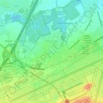
Name: Melsbroek topographic map, elevation, terrain.
Average elevation: 26 m
Minimum elevation: 9 m
Maximum elevation: 51 m
Other topographic maps
Click on a map to view its topography, its elevation and its terrain.
Wambeek
Belgique > Brabant flamand > Hal-Vilvorde > Steenokkerzeel
Wambeek, Steenockerzeel, Steenokkerzeel, Hal-Vilvorde, Brabant flamand, Flandre, 1820, Belgique
Average elevation: 24 m