
Oldtown topographic map
Interactive map
Click on the map to display elevation.
About this map
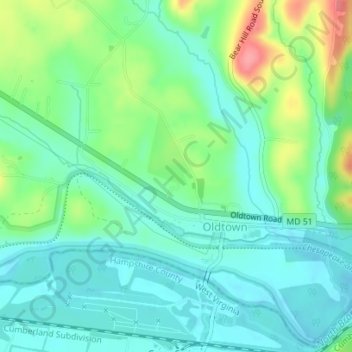
Name: Oldtown topographic map, elevation, terrain.
Location: Oldtown, Allegany County, Maryland, United States (39.54034 -78.62574 39.55037 -78.60555)
Average elevation: 185 m
Minimum elevation: 159 m
Maximum elevation: 250 m