
Manalur topographic map
Interactive map
Click on the map to display elevation.
About this map
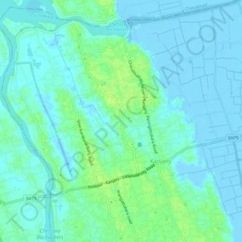
Name: Manalur topographic map, elevation, terrain.
Location: Manalur, Kanjany, Thrissur, Thrissur District, Kerala, India (10.46336 76.08338 10.50702 76.13037)
Average elevation: 4 m
Minimum elevation: -6 m
Maximum elevation: 14 m