
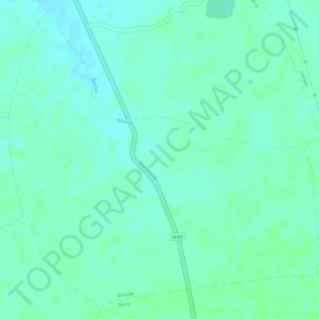
Bhiloda topographic map
Interactive map
Click on the map to display elevation.
About this map
Name: Bhiloda topographic map, elevation, terrain.
Average elevation: 374 m
Minimum elevation: 369 m
Maximum elevation: 376 m
Other topographic maps
Click on a map to view its topography, its elevation and its terrain.
Patan
India > Madhya Pradesh > Patan Tahsil
Patan, Patan Tahsil, Jabalpur District, Madhya Pradesh, 483113, India
Average elevation: 373 m