
Fuling District topographic map
Interactive map
Click on the map to display elevation.
About this map
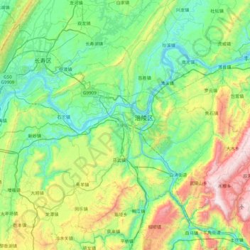
Name: Fuling District topographic map, elevation, terrain.
Location: Fuling District, Chongqing, PRC (29.36189 106.94082 30.00707 107.71439)
Average elevation: 582 m
Minimum elevation: 130 m
Maximum elevation: 1,993 m
Other topographic maps
Click on a map to view its topography, its elevation and its terrain.