
Thank you for supporting this site ❤️
Make a donation
Make a donation
Haines topographic map
Click on the map to display elevation.
Thank you for supporting this site ❤️
Make a donation
Make a donation
About this map
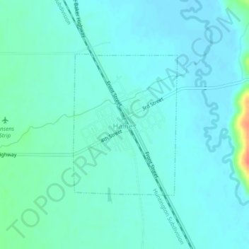
Name: Haines topographic map, elevation, terrain.
Location: Haines, Baker County, Oregon, 97833, United States (44.90421 -117.94754 44.91951 -117.93161)
Average elevation: 1,017 m
Minimum elevation: 1,008 m
Maximum elevation: 1,064 m
Thank you for supporting this site ❤️
Make a donation
Make a donation