
太白湖(北湖) topographic map
Interactive map
Click on the map to display elevation.
About this map
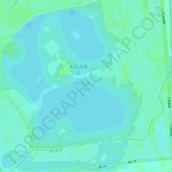
Name: 太白湖(北湖) topographic map, elevation, terrain.
Location: 太白湖(北湖), 任城区, 济宁市, 山东省, 中国 (35.29217 116.57468 35.33008 116.61312)
Average elevation: 34 m
Minimum elevation: 31 m
Maximum elevation: 42 m
Other topographic maps
Click on a map to view its topography, its elevation and its terrain.