
乐园庄村 topographic map
Interactive map
Click on the map to display elevation.
About this map
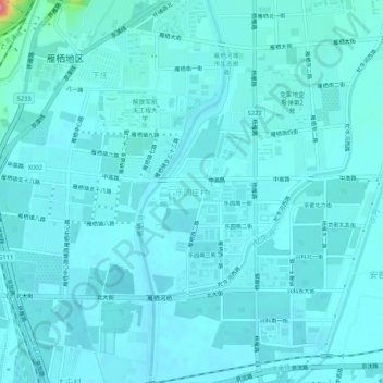
Name: 乐园庄村 topographic map, elevation, terrain.
Location: 乐园庄村, 怀柔区, 北京市, 101422, 中国 (40.32504 116.64950 40.36504 116.68950)
Average elevation: 50 m
Minimum elevation: 41 m
Maximum elevation: 135 m
Other topographic maps
Click on a map to view its topography, its elevation and its terrain.