
North Pines topographic map
Interactive map
Click on the map to display elevation.
About this map
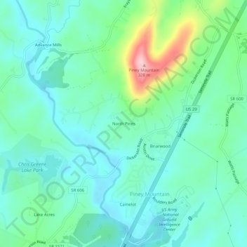
Name: North Pines topographic map, elevation, terrain.
Location: North Pines, Albemarle County, Virginia, United States (38.15041 -78.44307 38.19041 -78.40307)
Average elevation: 161 m
Minimum elevation: 110 m
Maximum elevation: 330 m