
Faraday topographic map
Interactive map
Click on the map to display elevation.
About this map
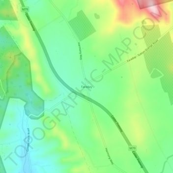
Name: Faraday topographic map, elevation, terrain.
Location: Faraday, Shire of Mount Alexander, Victoria, Australia (-37.06644 144.27103 -37.02644 144.31103)
Average elevation: 431 m
Minimum elevation: 340 m
Maximum elevation: 610 m