
Picachos topographic map
Interactive map
Click on the map to display elevation.
About this map
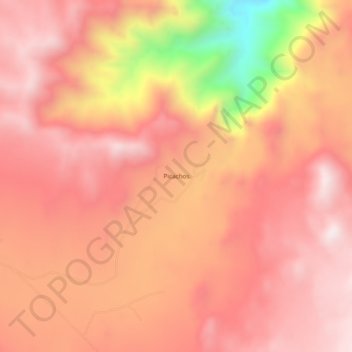
Name: Picachos topographic map, elevation, terrain.
Location: Picachos, Municipio de Tecate, Baja California, México (32.46989 -116.03656 32.50989 -115.99656)
Average elevation: 1,189 m
Minimum elevation: 656 m
Maximum elevation: 1,411 m