
Amazoul topographic map
Interactive map
Click on the map to display elevation.
About this map
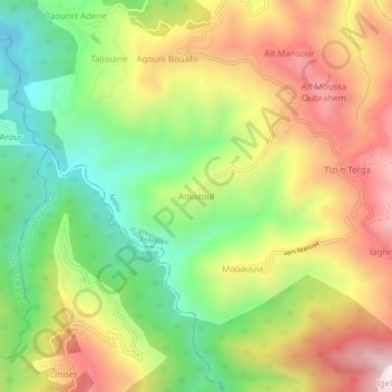
Name: Amazoul topographic map, elevation, terrain.
Location: Amazoul, Mekla, Daïra Mekla, Tizi Ouzou, Algérie (36.62970 4.24352 36.66970 4.28352)
Average elevation: 551 m
Minimum elevation: 202 m
Maximum elevation: 955 m