
Craigs Creek topographic map
Interactive map
Click on the map to display elevation.
About this map
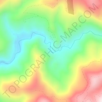
Name: Craigs Creek topographic map, elevation, terrain.
Location: Craigs Creek, Del Norte County, California, United States (41.79646 -123.99501 41.79717 -123.99447)
Average elevation: 356 m
Minimum elevation: 110 m
Maximum elevation: 691 m
Other topographic maps
Click on a map to view its topography, its elevation and its terrain.
Crescent City
United States > California > Del Norte County
Crescent City, Del Norte County, California, United States
Average elevation: 31 m
Crescent City
United States > California > Del Norte County
Crescent City, Del Norte County, California, 75531, United States
Average elevation: 6 m
Crescent City
United States > California > Del Norte County > Crescent City
Crescent City, Del Norte County, California, United States
Average elevation: 25 m