
Assela topographic map
Interactive map
Click on the map to display elevation.
About this map
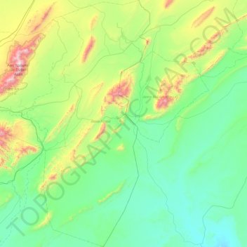
Name: Assela topographic map, elevation, terrain.
Location: Assela, daïra Assela, Naâma, Algérie (32.33106 -0.37827 33.11444 0.02404)
Average elevation: 1,037 m
Minimum elevation: 732 m
Maximum elevation: 2,223 m