
Cheguig topographic map
Interactive map
Click on the map to display elevation.
About this map
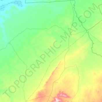
Name: Cheguig topographic map, elevation, terrain.
Location: Cheguig, Daïra Rogassa, El Bayadh, Algérie (33.76017 0.99761 34.20672 1.33624)
Average elevation: 1,192 m
Minimum elevation: 1,005 m
Maximum elevation: 1,818 m