
Bounoual topographic map
Interactive map
Click on the map to display elevation.
About this map
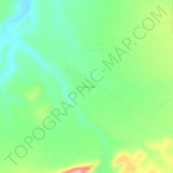
Name: Bounoual topographic map, elevation, terrain.
Location: Bounoual, Takhemaret, daïra Frenda, Tiaret, Algérie (35.18994 0.63430 35.22994 0.67430)
Average elevation: 539 m
Minimum elevation: 482 m
Maximum elevation: 651 m