
Bukit Tungku Tiga topographic map
Interactive map
Click on the map to display elevation.
About this map
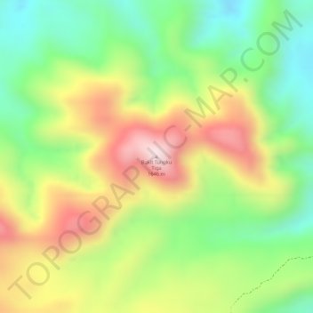
Name: Bukit Tungku Tiga topographic map, elevation, terrain.
Location: Bukit Tungku Tiga, Pagar Alam, South Sumatra, Indonesia (-4.17550 103.31582 -4.17540 103.31592)
Average elevation: 1,417 m
Minimum elevation: 1,227 m
Maximum elevation: 1,631 m
Other topographic maps
Click on a map to view its topography, its elevation and its terrain.
Atung Bungsu
Indonesia > South Sumatra > Pagar Alam > Atung Bungsu
Atung Bungsu, Pagar Alam, South Sumatra, Indonesia
Average elevation: 521 m