
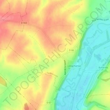
Longchamps topographic map
Interactive map
Click on the map to display elevation.
About this map
Name: Longchamps topographic map, elevation, terrain.
Average elevation: 121 m
Minimum elevation: 81 m
Maximum elevation: 158 m
Other topographic maps
Click on a map to view its topography, its elevation and its terrain.
Bohéries
France > Hauts-de-France > Aisne > Vadencourt
Bohéries, Vadencourt, Vervins, Aisne, Hauts-de-France, France métropolitaine, 02120, France
Average elevation: 120 m