
Thank you for supporting this site ❤️
Make a donation
Make a donation
Yucatán Country Club topographic map
Click on the map to display elevation.
Thank you for supporting this site ❤️
Make a donation
Make a donation
About this map
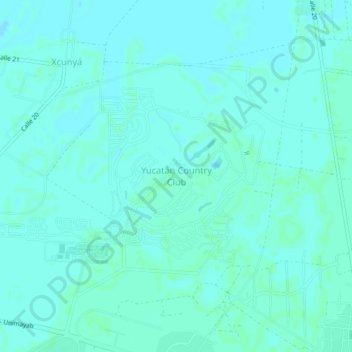
Name: Yucatán Country Club topographic map, elevation, terrain.
Location: Yucatán Country Club, Mérida, Yucatán, 97500, Mexico (21.09974 -89.62023 21.13974 -89.58023)
Average elevation: 6 m
Minimum elevation: 4 m
Maximum elevation: 9 m
Thank you for supporting this site ❤️
Make a donation
Make a donation
Other topographic maps
Click on a map to view its topography, its elevation and its terrain.