
Centerpoint topographic map
Interactive map
Click on the map to display elevation.
About this map
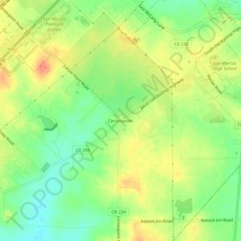
Name: Centerpoint topographic map, elevation, terrain.
Location: Centerpoint, Texas, United States (29.79315 -97.98767 29.83315 -97.94767)
Average elevation: 199 m
Minimum elevation: 175 m
Maximum elevation: 221 m