
Grembergen topographic map
Interactive map
Click on the map to display elevation.
About this map
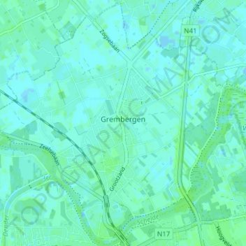
Name: Grembergen topographic map, elevation, terrain.
Location: Grembergen, Termonde, Flandre orientale, Belgique (51.03413 4.07242 51.07243 4.13454)
Average elevation: 3 m
Minimum elevation: -2 m
Maximum elevation: 6 m