
Thank you for supporting this site ❤️
Make a donation
Make a donation
Schoot topographic map
Click on the map to display elevation.
Thank you for supporting this site ❤️
Make a donation
Make a donation
About this map
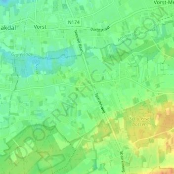
Name: Schoot topographic map, elevation, terrain.
Location: Schoot, Tessenderlo, Hasselt, Limburg, 3980, België (51.04653 5.01733 51.08653 5.05733)
Average elevation: 21 m
Minimum elevation: 8 m
Maximum elevation: 42 m
Thank you for supporting this site ❤️
Make a donation
Make a donation