
Ouled Saber topographic map
Interactive map
Click on the map to display elevation.
About this map
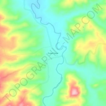
Name: Ouled Saber topographic map, elevation, terrain.
Location: Ouled Saber, Ouled Yaich, Daïra Ammi Moussa, Relizane, Algérie (35.80224 0.89873 35.84224 0.93873)
Average elevation: 209 m
Minimum elevation: 137 m
Maximum elevation: 336 m