
Luzzara topographic map
Interactive map
Click on the map to display elevation.
About this map
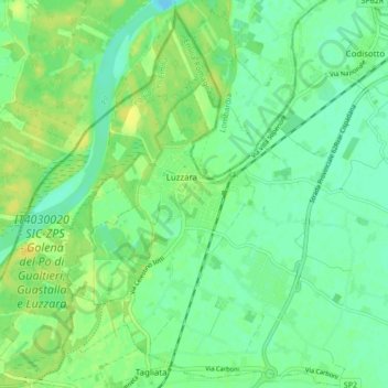
Name: Luzzara topographic map, elevation, terrain.
Location: Luzzara, Bassa Reggiana, RE, EMR, 42045, Italia (44.93050 10.65028 44.98737 10.73519)
Average elevation: 22 m
Minimum elevation: 13 m
Maximum elevation: 33 m