
乌鲁木齐河 topographic map
Interactive map
Click on the map to display elevation.
About this map
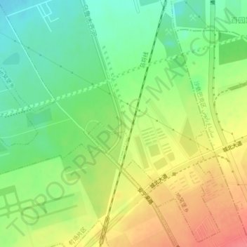
Name: 乌鲁木齐河 topographic map, elevation, terrain.
Location: 乌鲁木齐河, 宣仁墩南街社区, 地窝堡乡, 新市区, 乌鲁木齐市, 新疆维吾尔自治区, 830000, 中国 (43.91540 87.51004 43.92206 87.51220)
Average elevation: 649 m
Minimum elevation: 619 m
Maximum elevation: 685 m
Other topographic maps
Click on a map to view its topography, its elevation and its terrain.