
坑口镇 topographic map
Interactive map
Click on the map to display elevation.
About this map
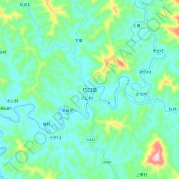
Name: 坑口镇 topographic map, elevation, terrain.
Location: 坑口镇, 肇庆市, 广东省, 中国 (23.75144 112.36860 23.83144 112.44860)
Average elevation: 130 m
Minimum elevation: 49 m
Maximum elevation: 436 m
Other topographic maps
Click on a map to view its topography, its elevation and its terrain.