
Saint-Julien topographic map
Interactive map
Click on the map to display elevation.
About this map
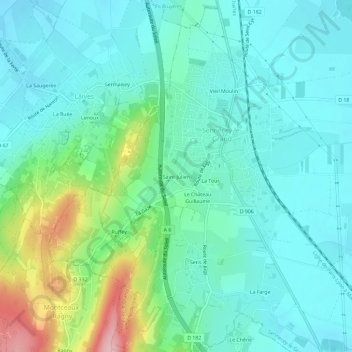
Name: Saint-Julien topographic map, elevation, terrain.
Average elevation: 225 m
Minimum elevation: 181 m
Maximum elevation: 373 m
Other topographic maps
Click on a map to view its topography, its elevation and its terrain.
Vieil Moulin
France > Bourgogne-Franche-Comté > Saône-et-Loire > Sennecey-le-Grand
Vieil Moulin, Sennecey-le-Grand, Chalon-sur-Saône, Saône-et-Loire, Bourgogne-Franche-Comté, France métropolitaine, 71240, France
Average elevation: 206 m