
湖光农场 topographic map
Interactive map
Click on the map to display elevation.
About this map
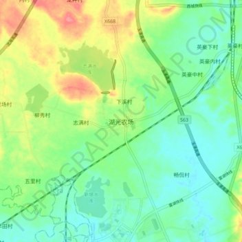
Name: 湖光农场 topographic map, elevation, terrain.
Location: 湖光农场, 湛江市, 广东省, 中国 (21.16225 110.20271 21.24225 110.28271)
Average elevation: 38 m
Minimum elevation: 13 m
Maximum elevation: 86 m
Other topographic maps
Click on a map to view its topography, its elevation and its terrain.