
和桥镇 topographic map
Interactive map
Click on the map to display elevation.
About this map
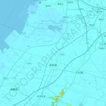
Name: 和桥镇 topographic map, elevation, terrain.
Location: 和桥镇, 宜兴市, 无锡市, 江苏省, 214200, 中国 (31.44789 119.76880 31.55899 119.95875)
Average elevation: 5 m
Minimum elevation: -3 m
Maximum elevation: 142 m
Other topographic maps
Click on a map to view its topography, its elevation and its terrain.