
Overton topographic map
Interactive map
Click on the map to display elevation.
About this map
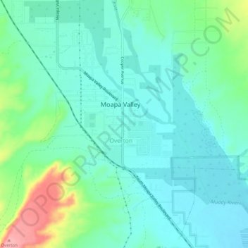
Name: Overton topographic map, elevation, terrain.
Location: Overton, Moapa Valley, Clark County, Nevada, United States (36.52073 -114.46299 36.56073 -114.42299)
Average elevation: 404 m
Minimum elevation: 375 m
Maximum elevation: 495 m