
Thank you for supporting this site ❤️
Make a donation
Make a donation
Lac Stukely topographic map
Click on the map to display elevation.
Thank you for supporting this site ❤️
Make a donation
Make a donation
About this map
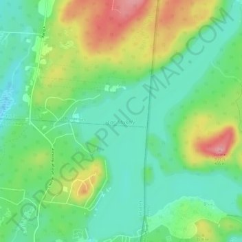
Name: Lac Stukely topographic map, elevation, terrain.
Location: Lac Stukely, Orford, Memphrémagog, Estrie, Québec, Canada (45.35648 -72.26263 45.39457 -72.22459)
Average elevation: 312 m
Minimum elevation: 267 m
Maximum elevation: 394 m
Thank you for supporting this site ❤️
Make a donation
Make a donation