
Mwangi topographic map
Interactive map
Click on the map to display elevation.
About this map
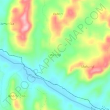
Name: Mwangi topographic map, elevation, terrain.
Location: Mwangi, Kibaale, Western Region, Uganda (0.68000 30.96333 0.72000 31.00333)
Average elevation: 1,244 m
Minimum elevation: 1,159 m
Maximum elevation: 1,393 m