
Salem topographic map
Interactive map
Click on the map to display elevation.
About this map
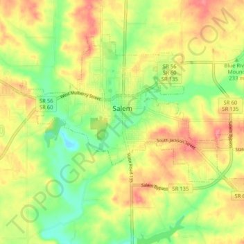
Name: Salem topographic map, elevation, terrain.
Location: Salem, Washington County, Indiana, 47167, United States (38.57983 -86.13424 38.62418 -86.05530)
Average elevation: 242 m
Minimum elevation: 205 m
Maximum elevation: 277 m
Other topographic maps
Click on a map to view its topography, its elevation and its terrain.
Old Pekin
United States > Indiana > Washington County
Old Pekin, Washington County, Indiana, 47165, United States
Average elevation: 229 m