
Gondesende topographic map
Interactive map
Click on the map to display elevation.
About this map
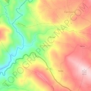
Name: Gondesende topographic map, elevation, terrain.
Location: Gondesende, Bragança, Distrito de Bragança, 5300-561, Portugal (41.83067 -6.88225 41.87067 -6.84225)
Average elevation: 800 m
Minimum elevation: 610 m
Maximum elevation: 956 m