
Stoffels topographic map
Interactive map
Click on the map to display elevation.
About this map
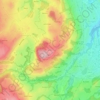
Name: Stoffels topographic map, elevation, terrain.
Location: Stoffels, Kempten (Allgäu), Bayern, 87487, Deutschland (47.70057 10.24667 47.74057 10.28667)
Average elevation: 796 m
Minimum elevation: 681 m
Maximum elevation: 924 m