
Kamanga topographic map
Interactive map
Click on the map to display elevation.
About this map
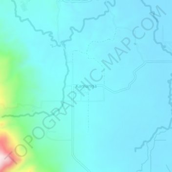
Name: Kamanga topographic map, elevation, terrain.
Location: Kamanga, Sultan Kudarat, Soccsksargen, Philippines (6.64387 124.47950 6.68387 124.51950)
Average elevation: 96 m
Minimum elevation: 47 m
Maximum elevation: 482 m