
Goose Lake topographic map
Interactive map
Click on the map to display elevation.
About this map
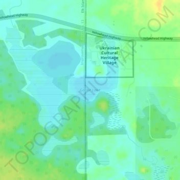
Name: Goose Lake topographic map, elevation, terrain.
Location: Goose Lake, Improvement District No. 13, Alberta, Canada (53.55730 -112.81792 53.56852 -112.79553)
Average elevation: 713 m
Minimum elevation: 704 m
Maximum elevation: 729 m
Other topographic maps
Click on a map to view its topography, its elevation and its terrain.
Elk Island National Park
Canada > Alberta > Improvement District No. 13
Elk Island National Park, Improvement District No. 13, Alberta, Canada
Average elevation: 719 m