
Ngemplak topographic map
Interactive map
Click on the map to display elevation.
About this map
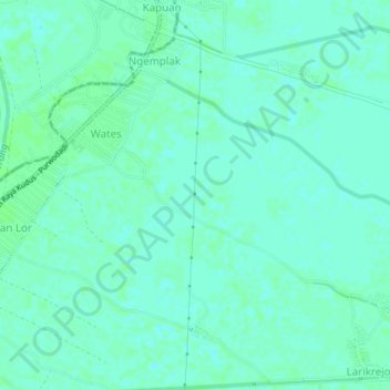
Name: Ngemplak topographic map, elevation, terrain.
Location: Ngemplak, Kudus, Central Java, Indonesia (-6.89107 110.81965 -6.85107 110.85965)
Average elevation: 8 m
Minimum elevation: 4 m
Maximum elevation: 10 m