
Thank you for supporting this site ❤️
Make a donation
Make a donation
Spituk topographic map
Click on the map to display elevation.
Thank you for supporting this site ❤️
Make a donation
Make a donation
About this map
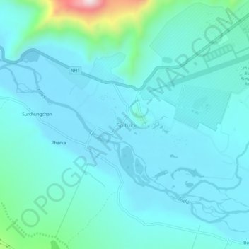
Name: Spituk topographic map, elevation, terrain.
Location: Spituk, Leh Tehsil, Leh district, Ladakh, India (34.10515 77.50257 34.14515 77.54257)
Average elevation: 3,253 m
Minimum elevation: 3,179 m
Maximum elevation: 3,742 m
Thank you for supporting this site ❤️
Make a donation
Make a donation