
Northam topographic map
Interactive map
Click on the map to display elevation.
About this map
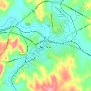
Name: Northam topographic map, elevation, terrain.
Average elevation: 177 m
Minimum elevation: 140 m
Maximum elevation: 262 m
Other topographic maps
Click on a map to view its topography, its elevation and its terrain.
Northam
Australia > Western Australia > Northam
Northam, Shire Of Northam, Western Australia, 6401, Australia
Average elevation: 182 m