
Dutch Island topographic map
Interactive map
Click on the map to display elevation.
About this map
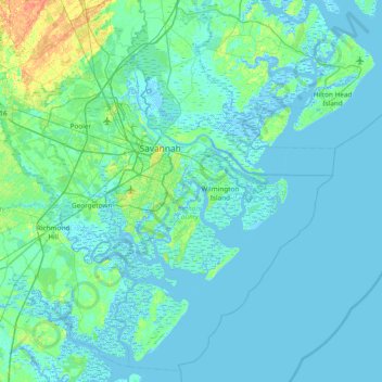
Name: Dutch Island topographic map, elevation, terrain.
Location: Dutch Island, Chatham County, Georgia, 31410, United States (31.68605 -81.35122 32.32605 -80.71122)
Average elevation: 4 m
Minimum elevation: -5 m
Maximum elevation: 35 m