
濉溪镇 topographic map
Interactive map
Click on the map to display elevation.
About this map
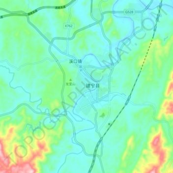
Name: 濉溪镇 topographic map, elevation, terrain.
Location: 濉溪镇, 建宁县, 三明市, 福建省, 中国 (26.79359 116.79823 26.87359 116.87823)
Average elevation: 342 m
Minimum elevation: 281 m
Maximum elevation: 566 m
Other topographic maps
Click on a map to view its topography, its elevation and its terrain.