
Cairo topographic map
Click on the map to display elevation.
About this map
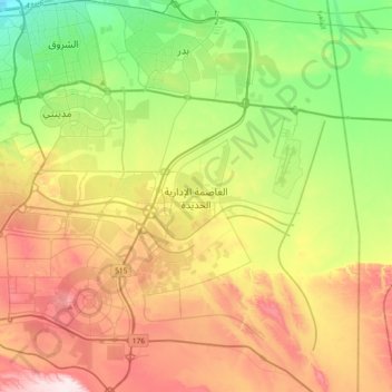
Name: Cairo topographic map, elevation, terrain.
Location: New Administrative Capital, Cairo, Egypt (29.86383 31.59495 30.18383 31.91495)
Average elevation: 301 m
Minimum elevation: 103 m
Maximum elevation: 580 m
Other topographic maps
Click on a map to view its topography, its elevation and its terrain.