
杨柳津河 topographic map
Interactive map
Click on the map to display elevation.
About this map
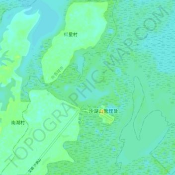
Name: 杨柳津河 topographic map, elevation, terrain.
Location: 杨柳津河, 沙湖山管理处, 庐山市, 九江市, 江西省, 中国 (29.15933 115.88832 29.22231 115.91889)
Average elevation: 15 m
Minimum elevation: 9 m
Maximum elevation: 29 m
Other topographic maps
Click on a map to view its topography, its elevation and its terrain.