
金沙湖 topographic map
Interactive map
Click on the map to display elevation.
About this map
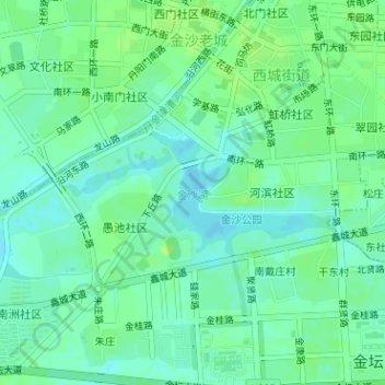
Name: 金沙湖 topographic map, elevation, terrain.
Location: 金沙湖, 西城街道, 金坛区, 常州市, 江苏省, 213200, 中国 (31.73070 119.56394 31.73942 119.57921)
Average elevation: 8 m
Minimum elevation: 2 m
Maximum elevation: 14 m
Other topographic maps
Click on a map to view its topography, its elevation and its terrain.